



For decades, Panvel was seen as little more than a transit point, a junction town on the way to Pune, useful mainly for its highway access and railway station. That perception has changed dramatically over the last five years, and it’s changing faster still in 2026. Panvel now sits at the geographic and strategic center of what planners and developers are calling Mumbai 3.0, the Mumbai Metropolitan Region’s third major growth wave, following South Mumbai and the western/eastern suburbs, and then Navi Mumbai.
Understanding why Panvel is attracting this attention requires looking at the infrastructure being built around it, the policy decisions driving urban expansion in this direction, and the early signals that are already visible on the ground.
What Is Mumbai 3.0, and Why Panvel?
Mumbai 3.0 refers to the emerging urban corridor stretching across Navi Mumbai’s southern belt; Panvel, Ulwe, Kharghar, Taloja, and further toward Uran and Pen. The state government has formally designated 124 villages across the Panvel, Uran, and Pen talukas as part of a new planning zone, sometimes referred to as the Karnala-Sai-Chirner (KSC) New Town, spanning roughly 323 square kilometers. This isn’t a marketing label, it’s a structured, CIDCO-backed urban planning initiative with its own master plan, targeted for completion around August 2026, with on-ground infrastructure development expected to begin in 2026-27.
Panvel is at the center of this zone for a simple reason: geography. It’s the point where road, rail, port, and air connectivity converge.
The Infrastructure Backbone
A few projects explain why Panvel’s trajectory has shifted so decisively:
Navi Mumbai International Airport (NMIA): Built by the Adani Group in Ulwe at a cost of roughly ₹16,700 crore, the airport began commercial flights in December 2025 and had scaled to over 22,000 daily passengers by April 2026. Its first phase is designed to handle 20 million passengers annually. For Panvel, which sits just minutes from Ulwe, this is the single biggest driver of both residential and commercial demand in the region.
Atal Setu (Mumbai Trans Harbour Link): India’s longest sea bridge at 21.8 km, connecting Sewri in South Mumbai to Chirle in Navi Mumbai in about 20 minutes, a journey that used to take close to two hours by road. Since its inauguration in January 2024, it has become the single biggest catalyst for growth across Ulwe, Panvel, and Kharghar, with land within 10 km of the airport reportedly appreciating 200–300% since the project was first announced in 2019.
Panvel–Karjat Suburban Rail Corridor: A ₹2,782 crore, 29.6-km double-line railway project connecting Panvel to Karjat, cutting travel time between the two from over two hours by road to roughly an hour by train. Handover to Central Railway is expected around October 2026, with passenger services likely to begin by the end of the year. This corridor was conceived specifically as the transportation backbone for the NAINA growth zone.
NAINA (Navi Mumbai Airport Influence Notified Area): Envisioned as one of India’s most ambitious planned urban developments, NAINA spans roughly 334 square kilometers around the airport, with a vision that includes IT parks, healthcare campuses, educational institutions, and integrated residential townships, all built around modern, tech-driven urban planning principles.
Other Connectors: The Mumbai–Pune Expressway Missing Link (cutting nearly 30 minutes off the ghat section), the Ulwe Coastal Road linking NMIA to the MTHL, and the under-construction Virar-Alibaug Multi-Modal Corridor are all reinforcing Panvel’s position as a connectivity hub rather than a bypass town.
Early Signals of a Maturing Market
Infrastructure alone doesn’t make a real estate story, it’s the combination of infrastructure and early economic activity that does. In Panvel’s case, several signals point to a market that’s moving from speculative interest to genuine end-user demand:
Retail and Social Infrastructure has Followed Residential Growth.
Established schools (Delhi Public School, DAV Public School, Amity University), hospitals (MGM Hospital, Apollo Clinic), and retail chains (D-Mart, Reliance Smart Point) are already present in and around Panvel’s residential pockets a sign the area has moved past the “empty land near a highway” stage.
Industrial and Logistics Activity is Accelerating.
Panvel’s long-standing proximity to Jawaharlal Nehru Port (JNPT), India’s largest container port, combined with NMIA and NAINA, is turning the region into a logistics and warehousing hub, which in turn supports housing demand from a growing workforce.
Rollout Timelines are Realistic, Not Speculative.
Analysts tracking the KSC New Town project suggest a phased timeline 2026-27 for areas that are already relatively livable (like established Panvel nodes), 2028-30 for the NAINA core, and 2030+ for deeper land parcels. This matters because it separates near-term, livable growth areas from longer-horizon speculative land plays.
Where Established Developers Fit In
Large infrastructure projects create the conditions for growth, but it’s the developers building through the slower, less glamorous years that shape what a region actually becomes to live in. This is where a locally rooted track record starts to matter more than a single flagship project.
Anant Realty has been developing residential projects in and around Panvel since 2013 well before Mumbai 3.0 became a talking point. Its earlier, completed projects including Anant Niwas in Vadghar-Karanjade and Anant Residency in Vihighar were built around Panvel’s more affordable 1 and 2 BHK segment, catering to the first wave of buyers who moved into the area for its connectivity and value, long before the airport or the MTHL existed.
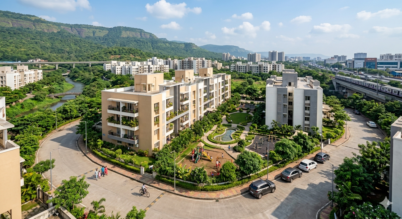
That footprint has since expanded. The developer’s current pipeline includes Anant Serene Park and Anant Serene Villas, both located in Wardoli, Panvel, opposite Wadhwa Wise City. Anant Serene Park in particular reflects how far the area’s housing product has evolved offering 2, 3.5, and 4.5 BHK apartments across G+10 towers with amenities like landscaped gardens, a library, banquet hall, and EV charging stations, a noticeably different offering from the compact studio and 1 BHK formats the same developer was building a decade ago.
Seen together, a developer’s completed and ongoing projects tend to act as a rough proxy for a region’s own growth curve starting with entry-level housing near basic infrastructure, and gradually moving toward larger, amenity-rich formats as connectivity, retail, and social infrastructure mature around it.
The Takeaway
Panvel’s transformation isn’t a single event; it’s the sum of several long-gestating infrastructure projects finally converging: an operational international airport, a sea link that’s already reshaping commute patterns, a new suburban rail corridor, and a formally notified planning zone spanning over 300 square kilometers. For homebuyers and investors evaluating the Mumbai Metropolitan Region, Panvel’s shift from a highway junction to a planned urban node is one of the more concrete growth stories in the region right now and developers who’ve been building there since well before the announcements, such as Anant Realty, offer a useful lens into how that transformation has actually unfolded on the ground.